Porto Rafti,
East Attica.
A town rather than a resort strip, stretched around Rafti Bay and ringed by pine-clad hills — close to Athens without reading like the city.
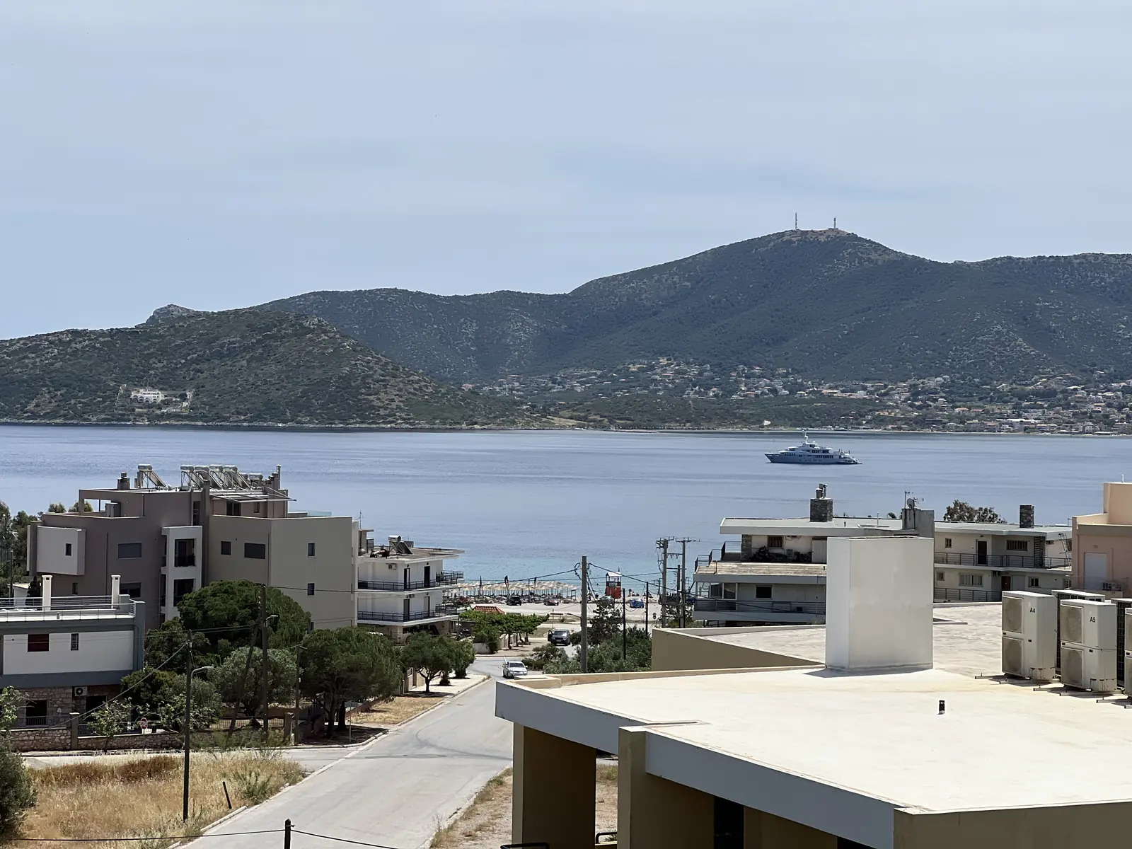
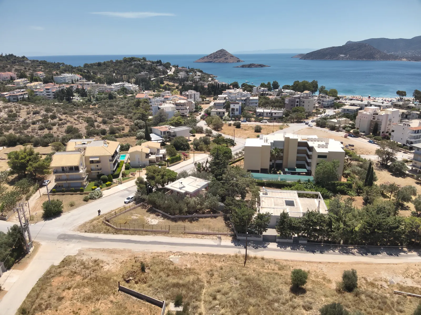
The bay,
and the island in it.
Porto Rafti — officially Limin Markopoulou, the port of Markopoulo — sits on the east coast of Attica, stretched amphitheatrically around Rafti Bay.
It is a year-round community with shops, bakeries and tavernas, and its population grows with Athenian second homes in summer.
The bay is closed by the islet of Raftis, which carries a Roman marble statue on its peak and gave the town its name. The coastline runs from the sandy beach of Agios Spyridonas round to Avlaki, a recognised beach in the Porto Rafti area. The ancient Sanctuary of Artemis at Brauron lies about five kilometres away by road.
View the site on Google Maps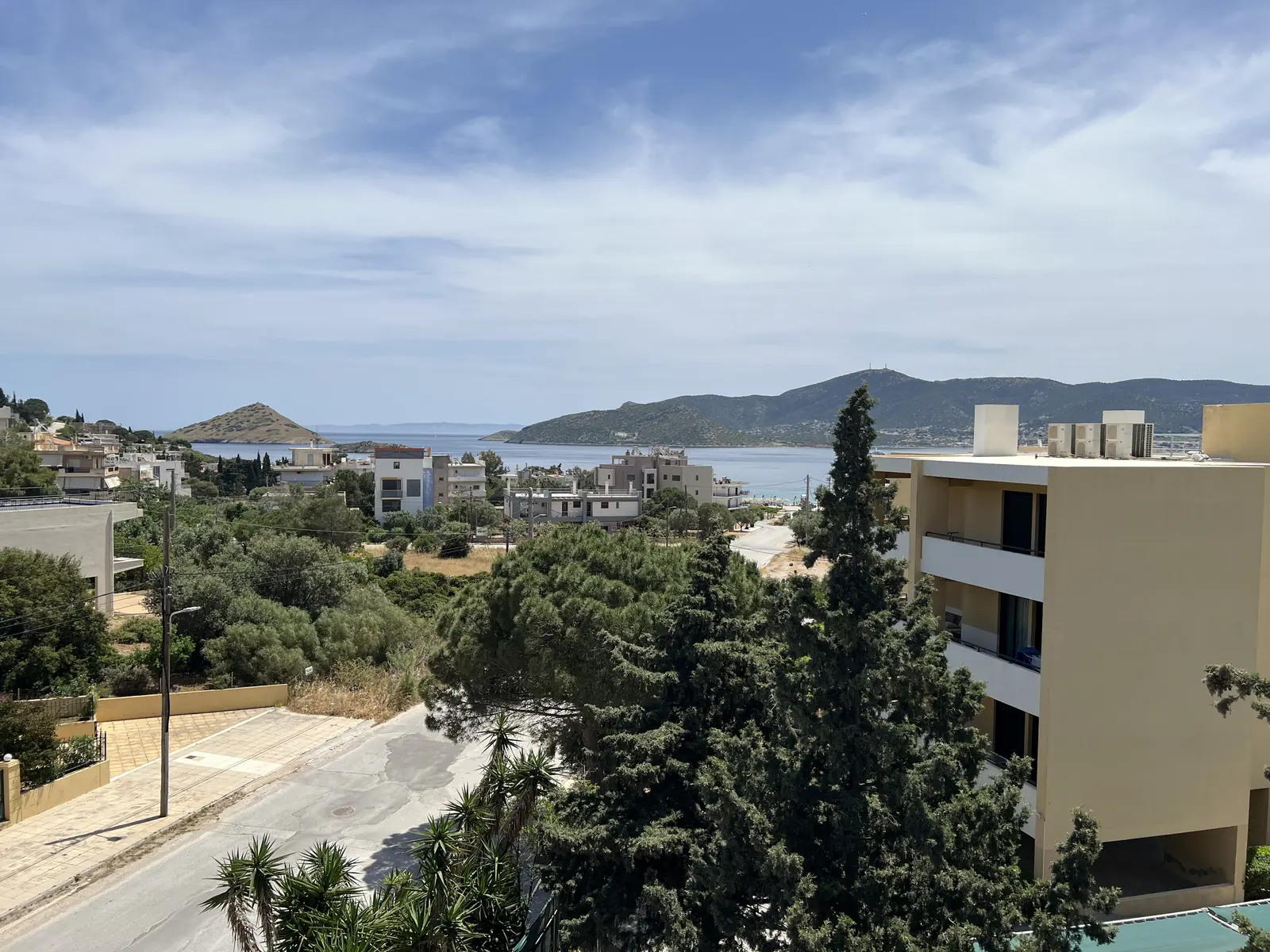
Everything you need,
within easy reach.
All figures are approximate and indicative.
On foot
- Agios Spyridonas beach and the seafront
- 370 m on foot
- Local shops, bakeries and tavernas
- 5–10 min
By road
- Athens International Airport “Eleftherios Venizelos”
- 15 km
- Vravrona (Brauron) and the Sanctuary of Artemis
- 5 km
- Markopoulo Mesogaias town centre
- 6 km
- Central Athens (Syntagma), by the Attiki Odos motorway
- 37 km
- Piraeus port
- 47 km
Further afield, in a straight line
- Koropi station — Metro Line 3 and Suburban Railway
- 10 km
- Markopoulo Olympic Equestrian Centre
- 3 km
- Lavrio port
- 21 km
- Cape Sounion
- 26 km
The Mesogaia
coast.
The Mesogaia is the plain behind the east coast of Attica, and the single largest thing in it is Athens International Airport.
The airport is fifteen kilometres from the building by road. Markopoulo town, the municipal seat, lies four kilometres south of the airport; Koropi station, about ten kilometres away, is the nearest rail link and carries Metro Line 3 and Suburban Railway services to the airport, Syntagma and Piraeus. Porto Rafti itself has no station.
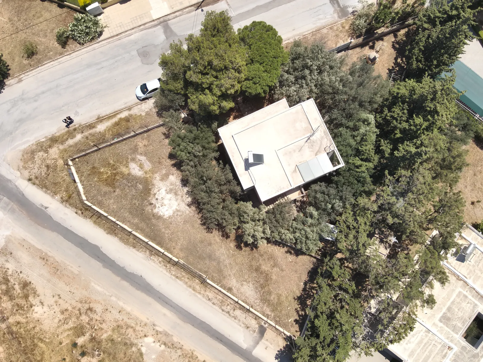
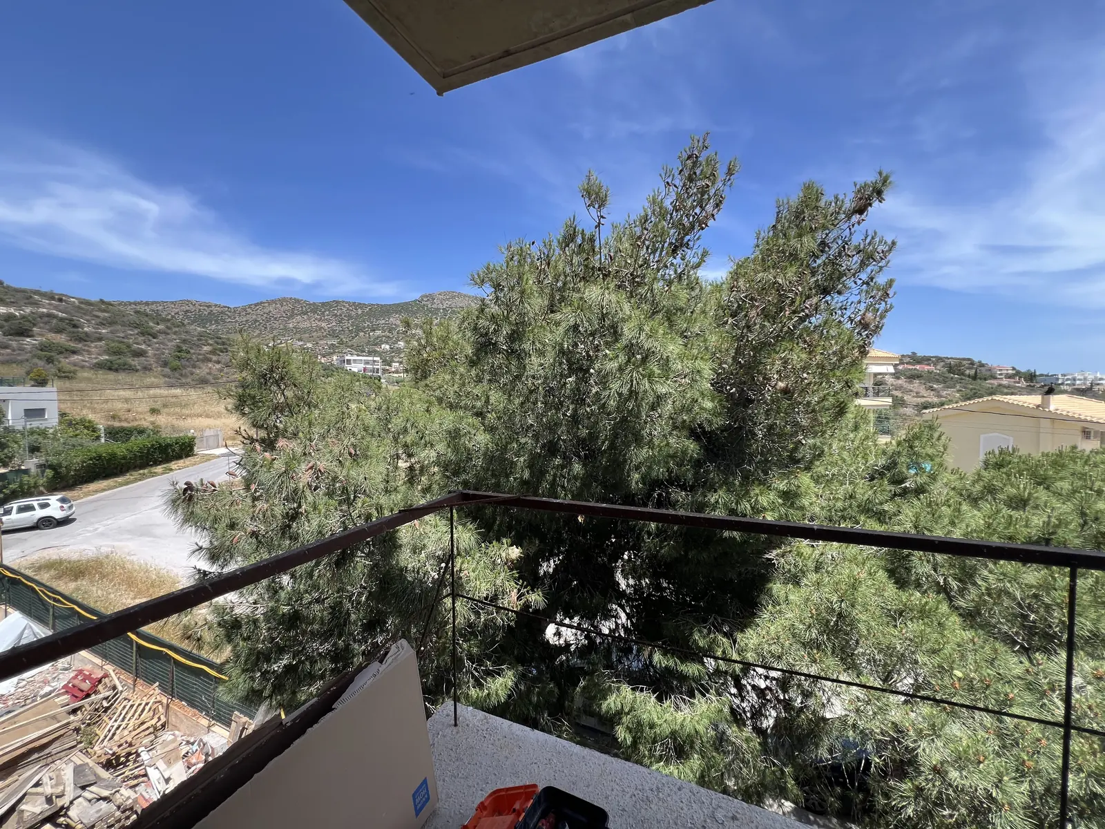
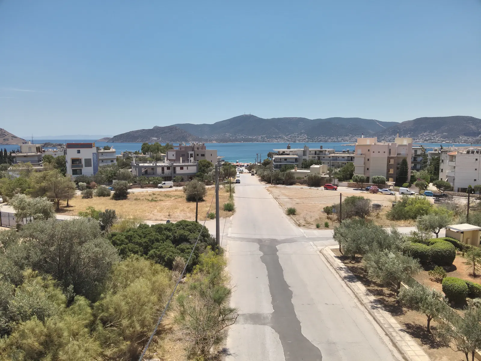
At the time of the May 2026 works photography, the land immediately south of the plot was undeveloped, and the outlook from the upper floors is open as a result. Land use can change, so this is not a guarantee of any future view.